URV
Unsealed Road Vehicle
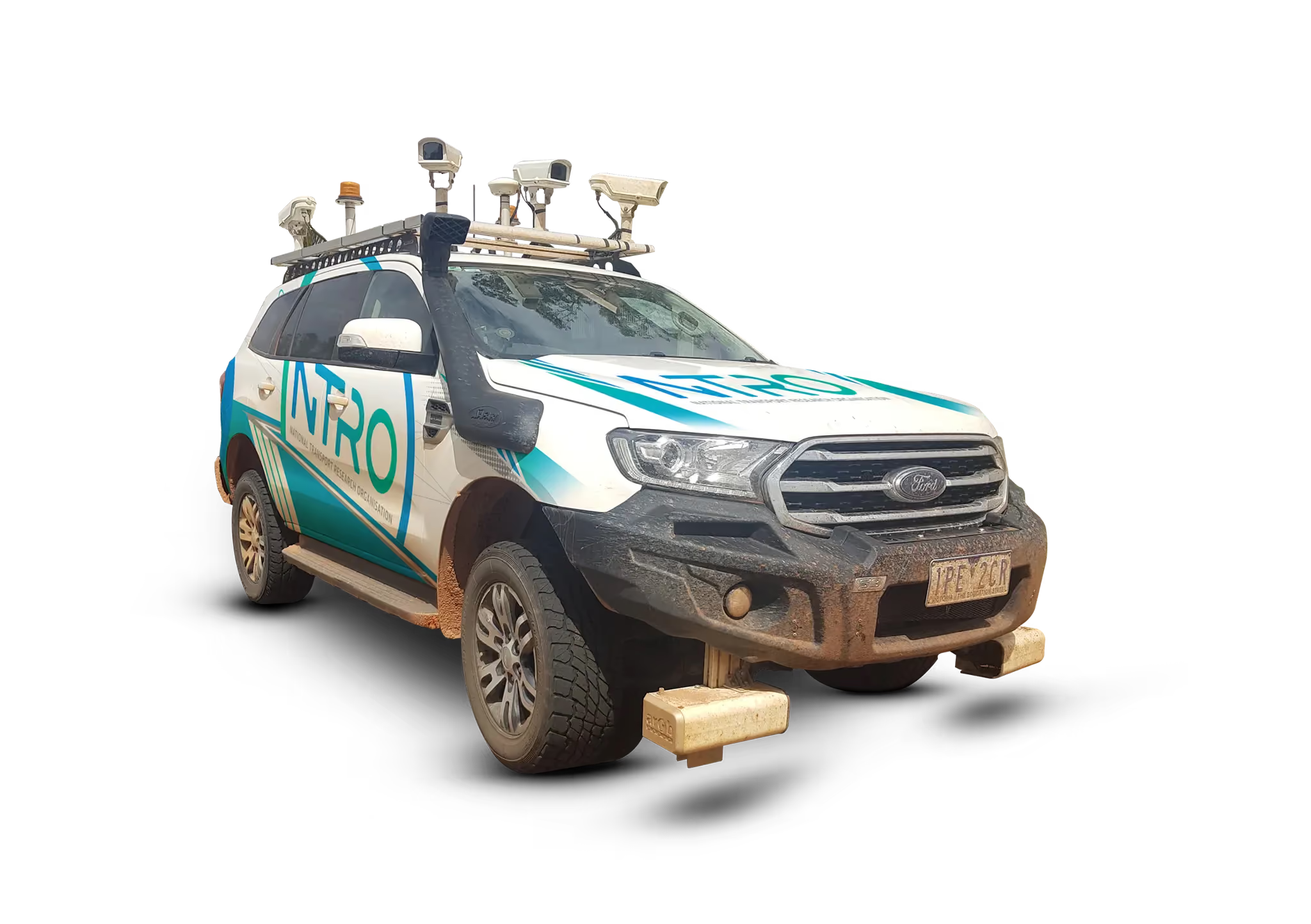
Assess unsealed road condition across regional and rural networks with NTRO’s URV, capturing roughness, defects, road geometry and detailed imagery.
Unsealed Road Vehicle
Assess unsealed road condition across regional and rural networks with NTRO’s URV, capturing roughness, defects, road geometry and detailed imagery.

The URV is purpose-built for regional and rural networks, capturing condition, roughness and defects across highly variable surfaces. This is a four-wheel drive platform equipped to operate in remote and challenging environments. It captures high-quality imagery to assess pavement condition and identify roadside assets, while also measuring road geometry such as crossfall and grade.

The URV integrates a suite of specialised systems designed specifically for unsealed road assessment.
Equipped with high-resolution dual-laser profilometer and accelerometers capture road deflection across both wheel paths — even on highly variable surfaces — with data continuously collected, georeferenced via GNSS, and segmented at 10, 20 or 100 metres using the International roughness index or council-preferred units.
A seven-camera HD system captures near-360° imagery, providing clear visual evidence of assets and defects. This includes potholes, corrugations, ruts, edge drop-offs, drainage issues and areas of subgrade exposure, supporting accurate asset registers, audits and maintenance planning.